
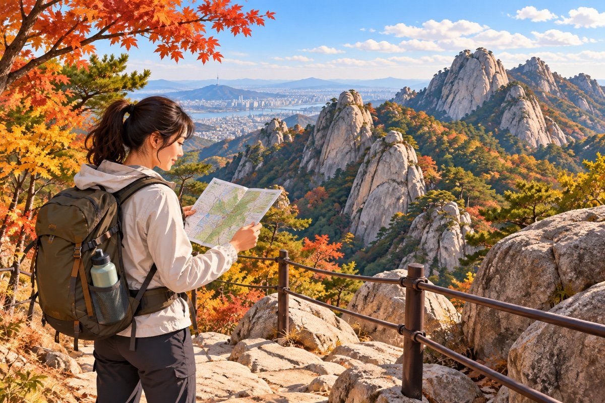
Last checked: October 4, 2026. Bukhansan National Park is beside Seoul, but “near the city” does not mean every trail is an easy urban walk. Routes differ in distance, elevation, surface and exposure. Choose from the current park course information rather than copying a route from a short social video.
Recent traveler discussions often ask whether a solo hike is safe and which route suits a first visit. The useful answer is not a blanket yes/no: daylight, weather, fitness, route choice, footwear and a charged phone all matter. This guide is a planning checklist, not a claim that we personally hiked each trail.
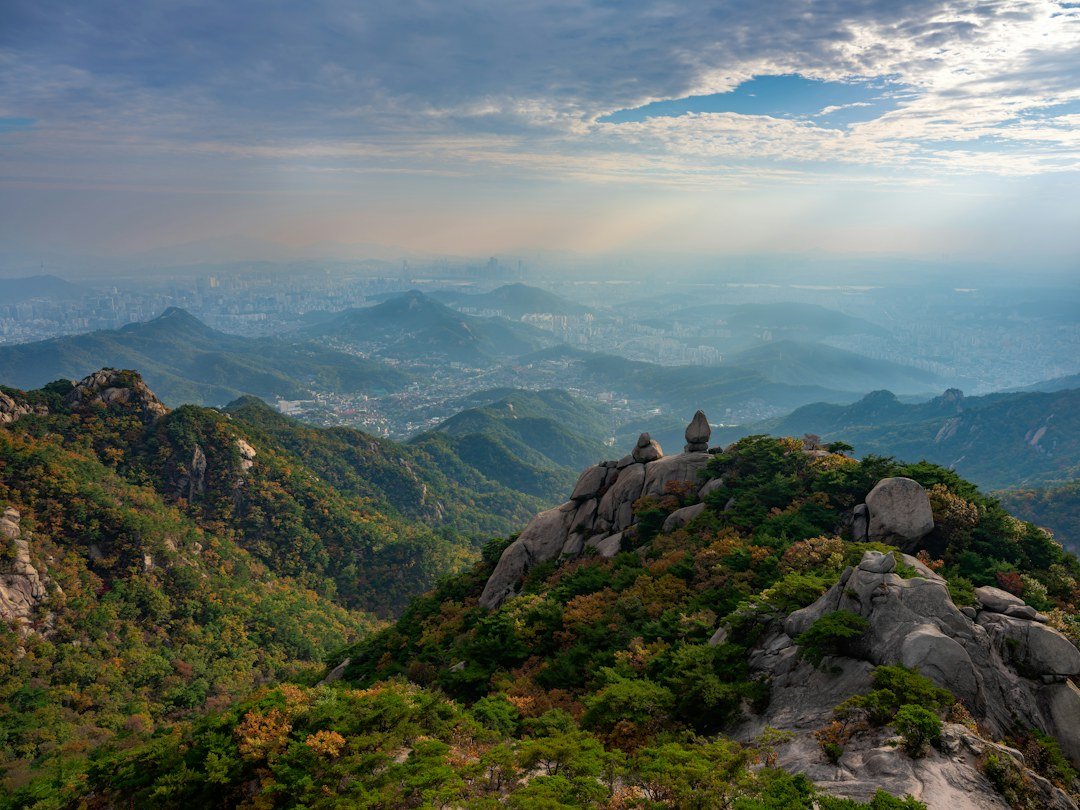
Choose a route by the hardest section
Before you go, open the Korea National Park Service Bukhansan course page. Compare the route’s total time, climbing, rocky sections and return logistics. If you are inexperienced, start with a shorter course and turn around while you still have comfortable daylight. A route that looks short on a map can include steep stone steps or exposed rock.
Check the park’s current notices for closures and restrictions. Rain, strong wind, heat, ice or poor visibility can change conditions. Do not cross barriers or continue onto a ridge because a map app still shows a path.
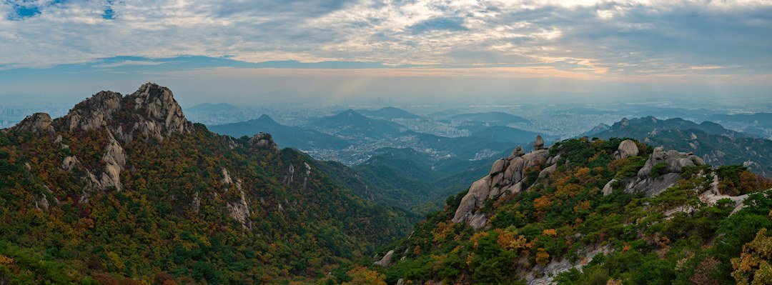
Make the transport plan part of the hike
Save the trailhead name in Korean and check the return route before starting. Transit and road conditions may differ from the route you used to arrive. Tell someone your plan, expected return time and the trail entrance you selected. Keep your phone charged, bring water and a layer, and download or save the map information you need before leaving the station.
Foreign visitors can ask for local hiking help
The Seoul Hiking Tourism Center offers route information and gear-rental services for visitors. Its Bukhansan center is listed at 5F, 52 Samyang-ro 173-gil, Gangbuk-gu; the official site lists hours as 09:00–18:00 and Monday closure. Hours, rental inventory and eligibility can change, so confirm on the official center website or call 1533-2608 before making the center part of your plan. Rental gear does not replace checking the route’s difficulty or weather.
Use a conservative turnaround rule
- Start early enough to finish well before sunset.
- Turn back if weather worsens, the trail becomes harder than expected, or you feel unwell.
- Do not hike alone if you are not comfortable navigating; consider a group or a lower-elevation alternative.
- For an emergency, call 119; give a trail name, entrance, landmark or location pin if you can.
For autumn hikes, also check our 2026 foliage guide; forecast dates do not guarantee safe trail conditions.
Route decision checklist
| If this describes you | Safer planning choice |
|---|---|
| You rarely hike or have limited time | Choose a short, maintained course listed by KNPS; skip summit goals |
| You are unsure about steep rock or stairs | Check route descriptions and photos; choose a lower-difficulty walk |
| You plan to hike solo | Share your route and return time, start early, and avoid unfamiliar ridge detours |
| Rain, heat, strong wind or poor visibility is forecast | Postpone or choose an indoor Seoul activity |
Wear shoes with a secure sole, carry water and a light layer, and take any medication you normally need. Do not rely on a phone battery for navigation and emergency calls alone. If conditions feel beyond your ability, turning back is a sound decision—not a failed hike.
Photographs are credited to their Unsplash contributors; use is subject to the Unsplash License. Captions identify when a photo is contextual rather than documentary.
Sources: Korea National Park Service; Seoul Hiking Tourism Center (hours and services checked October 4, 2026). Photos by Elliot Gouy / Unsplash, linked above.